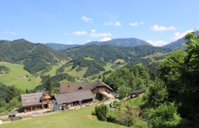
Details for: Opponitz - Hochseeberg - Amstettner Hut - Oberland
Brief description
From the fishing village Opponitz to Hochseeberg, to the Amstettner Hut and down the Hirschenkogel to Oberland
Description
From the Opponitz bus station, you immediately go uphill via the Kreuzweg and Rudi Käferweg. Follow the red-white-red marking 58 toward Obermitterkogel. Then hike toward Hochseeberg following the red-white-red marking 08. In Hochseeberg, continue to the serviced Amstettner Hut (path 24). From there, up to Hirschenkogel - the path is continuously marked. After the summit cross, follow the forest roads through the disused part of the ski area and the last section along the road to Oberland - alternatively via the ski slopes.
Starting point of the tour
Opponitz former station
Destination point of the tour
Station / town center Oberland
Directions
B31 to Opponitz, B121 from Oberland
Parking
Parking at Ybbstalradweg in Opponitz or parking at Oberland station
ÖBB/Rudolfsbahn to Waidhofen, VOR bus line to Opponitz or ÖBB from Oberland
Author's tip
Detour to the Wetterkogel between Hochseeberg and Amstettner Hut.


