Description
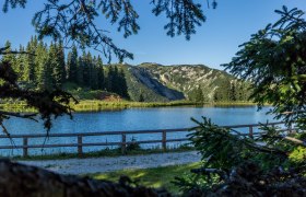
The Hochmoor Leckermoos at the start of the hike is the first highlight. It is a protected area and a refuge for rare plant and animal species.
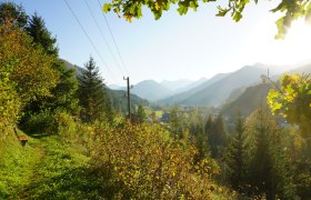
The next scenic highlight awaits us at the Wiesenalm, which is the most remote and probably the most beautiful alpine pasture area of the Hochkarmassiv. The view from here is also impressive.
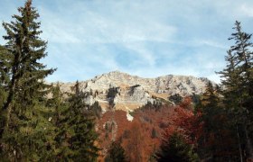
The most spectacular view, however, is at the highest point of our hike, the Ringkogel (1,668m). From here, you can see from the Hochschwab to the Gesäuse.
On the way back, a stop at the rustic Schwarzalm hut is recommended. It is run by Hans and Roswitha Hofer from mid-June to mid-September and offers very good food.
Starting point of the tour
Hochmoor Leckermoos car park
Destination point of the tour
Hochmoor Leckermoos car park
Route description Alpine pasture hike from Leckermoos to Ringkogel and Schwarzalm
From the Hochmoor-Leckermoos car park, we walk along the forest road and then turn right onto a forest path. We follow this uphill to the Wiesenalm and cross it. At the southern end of the Wiesenalm, we follow an unmarked trail up to the mountain ridge to a huge sinkhole. From here, we continue on the marked trail towards Ringkogel. From there, we return following the marked hiking trail towards Schwarzalm and then on towards Göstling via the Saugrat, down into the Riesengraben, and further onto the road, which we then follow back to the starting point.
Directions
Coming from Linz:
Take the A1 exit at Oedt and follow the B121 to Waidhofen/Ybbs, then follow the B31 towards Opponitz and Göstling. In Göstling, head towards Hochreith and Hochmoor Leckermoos.
Coming from Vienna:
Take the A1 exit at Ybbs/Wieselburg and follow the B25 through Purgstall, Scheibbs, Gaming, Lunz to Göstling. In Göstling, head towards Hochreith and Hochmoor Leckermoos.
Parking
There are plenty of free parking spaces at the Hochmoor Leckermoos car park
