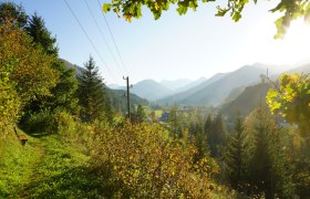
Details for: Siebenhütten above Kogler Waterfalls
Brief description
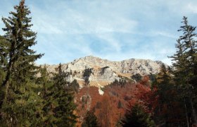
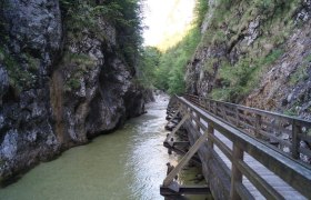
First, rushing water at the Kogler Waterfalls and later beautiful views of Voralm, Gamsstein, Dürrenstein, Hochkar, Gesäuse, and much more.
Description
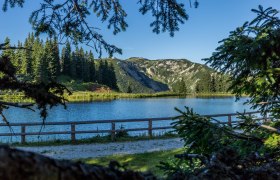
Originally, seven separate alpine huts stood on this open area on the eastern ridge of the Königsberg, hence the name Siebenhütten. Amidst dense forest, this alpine pasture opens with a children's playground and a south-facing view. It is considered a meeting point for hikers, mountain bikers, and connoisseurs seeking coziness and rustic charm.
Starting point of the tour
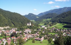
Göstling, Tourist Office
Route description Siebenhütten above Kogler Waterfalls
From the center of Göstling, go via the Kogler Waterfalls to the managed alpine hut Siebenhütten.
Return via Ebnerbrand, the direct hiking trail back down to Göstling.
Parking
Parking lot in the center of Göstling
ÖBB train to Waidhofen/Ybbs, VOR bus line to Göstling/Ybbs.
Author's tip
Popular and visited annually by countless people is the Siebenhütten Festival in mid-August.
