Lucken - Buchegg - Seeburg - Rundweg

Hiking route from Opponitz Town Center

To view this content, you need to accept our Cookies. Change Cookie Settings
Full screen mode
Elevation profile

8,38 km length

Tour dates
  • Difficulty: Medium
  • Route: 8,38 km
  • Ascent: 353 egm
  • Descent: 354 egm
  • Duration: 2:40 h
  • Lowest point: 410 m
  • Highest point:702 m
Features
  • Round tour
  • With refreshment stops

Details for: Lucken - Buchegg - Seeburg - Rundweg

Brief description

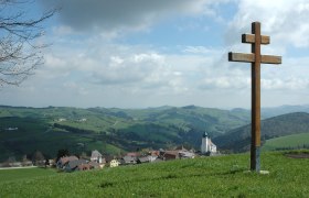
To the south of Opponitz on a beautiful hill and back again via the cycle path along the Ybbs.

Starting point of the tour

Opponitz Town Center

Destination point of the tour

Opponitz Town Center

Map recommendations

Ybbstal Alps Hiking Map, available at the tourist office

More tours around the starting point