Tälertour

Mountainbike route from Hollenstein, Raikaplatz

To view this content, you need to accept our Cookies. Change Cookie Settings
Full screen mode
Elevation profile

19,44 km length

Tour dates
  • Difficulty: Medium
  • Route: 19,44 km
  • Ascent: 560 egm
  • Descent: 560 egm
  • Duration: 1:30 h
  • Lowest point: 458 m
  • Highest point:966 m
Features
  • Round tour
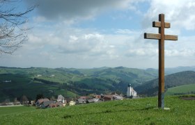
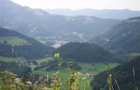
  • Nice views
  • With refreshment stops

Details for: Tälertour

Brief description

Hollenstein – Dürreck – Schwingelstraße – Neuberg – Hollenstein

Starting point of the tour

Hollenstein, Raikaplatz

Directions

Coming from Vienna, take the A1 to the Amstetten West exit, then take the B121 to Waidhofen an der Ybbs, and from there continue on the B31 to Hollenstein an der Ybbs.

Coming from the west, take the A1 to the Oed exit, then via Aschbach Markt onto the B121, continue on the B121 to Waidhofen an der Ybbs, and from there continue on the B31 to Hollenstein an der Ybbs.

Safety information

Please note that this and other MTB trails in the Mostviertel are closed for the winterfrom November 1 through April 14.

Thank you for your understanding!

Author's tip

Swimming at one of Austria's most beautiful river beaches

More tours around the starting point