Details for: To the Jörgl chapel
Brief description
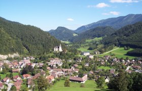
From the Ybbs riverbank via gravel paths and hiking trails to the 500-year-old chapel and back to the quiet village of St. Georgen am Reith.
Description
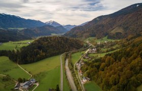
From the town center along the Ybbstal cycle path to the junction in the direction of Bromau. Via Pfennigtor and a forest path you reach the Jörgl chapel. The chapel is around 500 years old and stands on an old mule track in the middle of the forest. The spring, which almost always carries water, used to be used by horse-drawn carts transporting ore. The water is said to have healing powers for the eyes. In 1971, the almost dilapidated chapel was renovated and has since been a gem in this region, which is not visited very often.
Return via the Großbreitental valley to the Ybbs and the last few meters back home on the Ybbstal cycle path.
Starting point of the tour
St. Georgen/Reith, municipal office
Directions
From Waidhofen/Ybbs via the B31 Ybbstal federal road to St. Georgen am Reith. Or from Scheibbs via the B25 Erlauftal federal road to Göstling, then B31 to St. Georgen.
Parking
Parking spaces Ybbstalradweg
ÖBB to Waidhofen/Ybbs. Then VOR bus line to St. Georgen am Reith.
Author's tip
For refreshment after the hike, to the Gulasch-Wirtin at the Gasthaus Prosini.


