
13,05 km
/ 214 egm
/ 1:00 h
/ Easy
Kurze Rundtour mit Schlussabschnitt am Ybbstalradweg.
Continue reading

39,09 km
/ 1.112 egm
/ 3:00 h
/ Medium
From the Königsberg bike park via Hollenstein and Promau to…
Continue reading

15,03 km
/ 838 egm
/ 5:00 h
/ Difficult
This very beautiful and scenic circular route takes us from…
Continue reading
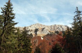
42,77 km
/ 3.004 egm
/ 20:00 h
/ Difficult
Within the Ybbstaler Alps, these three mountains rise in a…
Continue reading
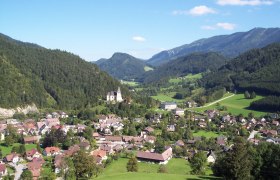
43,70 km
/ 456 egm
/ 2:30 h
/ Medium
Water as an (accompanying) element amidst magnificent…
Continue reading

74,68 km
/ 996 egm
/ 5:00 h
/ Medium
The route along the Lower Austrian Iron Road connects the…
Continue reading
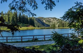
1,13 km
/ 105 egm
/ 0:24 h
/ Easy
Romantische Wanderung im Almengebiet zum Hochkar Bergsee.
Continue reading
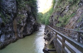
9,62 km
/ 706 egm
/ 3:41 h
/ Difficult
From Göstling an der Ybbs through the Nothklamm, through the…
Continue reading
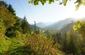
3,37 km
/ 96 egm
/ 1:00 h
/ Easy
Scenic circular hike from and to the hiking start point…
Continue reading
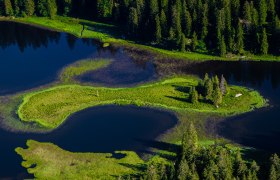
9,47 km
/ 500 egm
/ 4:00 h
/ Medium
This hike is all about the element of water. The Lunzer See…
Continue reading


