Details for: Hochreit-Runde
Brief description
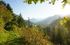
Vorbei an schönen gepflegten Bauernhöfen und zur Hochreitkapelle und über den Haflingerhof Seisenbachau zurück zum Bauernhof Ablass (Jausenstation).
Description
Ablass-Obereck-Kapelle-Hintereck-Riesen-Seisenbachau-Ablass (in jede Richtung zu gehen)
Starting point of the tour
Bauernhof Ablass
Destination point of the tour
Bauernhof Ablass
Directions
Von Göstling über die Hochreit-Straße (max. 15%) 4km bis zur Jausenstation Bauernhof Ablass.
Parking
Direkt beim Einstieg.
Author's tip
Die Perspektiven in beide Richtungen sind unterschiedlich, und sehenswert!

