Description
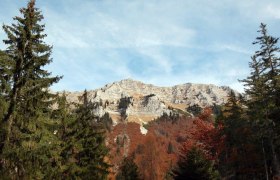
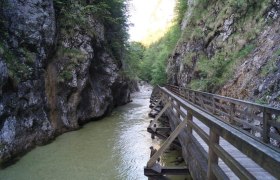
An almost high-alpine path leads you with steady steps through the primeval-like Lechner ravines. It quickly becomes clear that good fitness does not hurt on this 2-day route. At the “Grünloch” - a huge sinkhole - you hike past Central Europe's cold pole. Who would have guessed? More sinkholes define the atmospheric path between Hirzeck and Wiesenalm up to the Ybbstaler hut, your overnight stop. The next morning, freshly strengthened, you go over the heavily karstified alpine pasture with stunted trees and tall herbaceous plants to the Legstein hut. Across a uniquely karstic limestone plateau with deep doline basins and bizarre karren grooves as well as rich alpine flora, you continue to the summit of Dürrenstein (1878 m) with its ornate Töpper cross - the alpine highlight of Lunz am See!
The breathtaking 360° panorama leaves you silent…
The descent first leads through lush dwarf pine fields, later over the lush alpine meadows of Herrenalm (temporarily closed) down to the Leonhard cross.
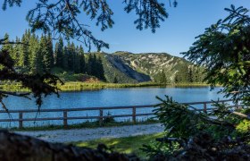
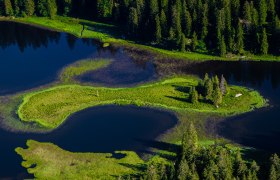
There you leave the alpine area and descend into the idyllic forest basin of the Obersee. The emerald-green mountain lake - a legendary natural jewel, surrounded by primeval mountain forest - fascinates with its small island and rare floating lawn. Along a comfortable forest road it then goes downhill through the wild romantic Seetal, past the “Roaring Bull” (underground waterfall) and the approximately 60m high Ludwig waterfall down to the Mittersee. Now it is not far to the last of the three mountain lakes, the Lunzer See. There a refreshing swim perfectly rounds off the eventful route.
Starting point of the tour
Hiking start point Töpperbrücke
Destination point of the tour
Hiking start point Seehof
Directions
By car from Linz, Salzburg, Munich, or Vienna via the A1 to the Ybbs an der Donau exit – further via B25 to Lunz am See
Parking
directly at the starting point
By train to Scheibbs or Waidhofen an der Ybbs and from there by bus to Lunz am See


