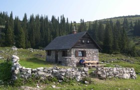
Hochreit-Runde

Hiking route from Farm Drainage

To view this content, you need to accept our Cookies. Change Cookie Settings
Full screen mode
Elevation profile

4,15 km length

Tour dates
  • Difficulty: Easy
  • Route: 4,15 km
  • Ascent: 122 egm
  • Descent: 142 egm
  • Duration: 1:00 h
  • Lowest point: 741 m
  • Highest point:825 m
Features
  • Round tour
  • Nice views
  • With refreshment stops
  • Suitable for families and children

Details for: Hochreit-Runde

Brief description

Past beautiful, well-kept farms and to the Hochreitkapelle chapel and via the Haflingerhof Seisenbachau farm back to the Ablass farm (snack station).

Description

Ablass-Obereck-Kapelle-Hintereck-Riesen-Seisenbachau-Ablass (can be walked in any direction)

Starting point of the tour

Farm Drainage

Destination point of the tour

Farm Drainage

Directions

From Göstling, take Hochreit Street (max. 15%) for 4 km to the Bauernhof Ablass snack bar.

Parking

Right at the entrance.

Author's tip

The views in both directions are different—and well worth seeing!

More tours around the starting point