Details for: From Steinbachtal to Noten
Brief description
Pure alpine experience! A hike well suited for children from Steinbachtal through the alpine forest, past the Ybbstaler Hut, and onward to the summit of Noten.
Description
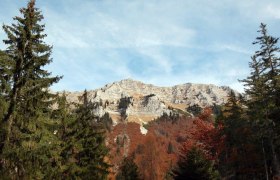
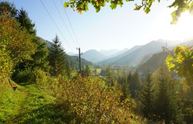
From Steinbachtal, the route goes along forestry roads and hiking trails, through the alpine forest and past hunting lodges to the beautifully situated Ybbstaler Hut. Before enjoying its culinary offerings – and perhaps even deciding to spend the night and watch the starry sky – the approximately one-hour ascent to the summit of Noten is worth it. A beautiful hiking trail in the midst of the Ybbstaler Alps with a fantastic panorama of the Dürrenstein, leading at 1635m above sea level.
Starting point of the tour
Steinbachtal car park, Göstling an der Ybbs
Destination point of the tour
Noten summit
Route description From Steinbachtal to Noten
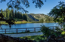
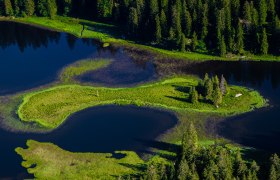
The hike, along a consistently wide path, starts at the car park in Steinbachtal, which is 4 km away from the B25. An information board of the Dürrenstein wilderness area invites you to pause briefly before following the forestry road past the idyllic fish pond. After 500 m, the marked ascent trail branches off to the right from the forestry road and leads for 3 km and 350 meters altitude gain through the alpine forest to the hunting lodge Dürreck. This lies halfway to the Ybbstaler Hut and is ideal for taking a short break in the shade. Opposite the hunting lodge the marked hiking trail continues and after just a few bends you reach a small spring (which does not always have water). After about a kilometer, the path splits right in front of a high stand. To the right you continue along the wide path marked with red-white-red painted stones (to the left runs the old narrow hiking trail which is also marked). After a bend, you reach a forestry road which you follow on the left for 600 m (yellow arrow left towards Ybbstaler Hut, Dürrenstein | the forestry road that leads uphill to the right here is the winter route for ski mountaineers) before you rejoin the old supply route on the right at the Bärenlacke and leave the last significant 150 altitude meters through the so-called Höhl to the alpine gate behind you. Anyone looking down from the narrow path today can hardly imagine that in the late 80s tractors and Pinzgauers transported material along this path to rebuild the hut. After the alpine gate, keep left and continue the last 700 m either on the forestry road or on the marked hiking trail to the hut.
Another nearly 2 km with 300 altitude meters follow on an easy hiking trail to the summit at Noten at 1635 m above sea level.
Directions
4km to Steinbachtal – accessible from the B25 Erlauftal federal road near Kögerlwirt in Göstling an der Ybbs
Parking
Steinbachtal car park
Author's tip
Tired muscles are refreshed in the fresh water of the Ybbs (cold therapy) or in the brine bath in Göstling (heat therapy).

