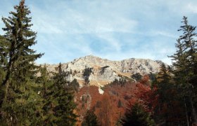
Höhenstein-Strecke

Mountainbike route from Lunz, Town Center to Lunz, Town Center

To view this content, you need to accept our Cookies. Change Cookie Settings
Full screen mode
Elevation profile

18,37 km length

Tour dates
  • Difficulty: Easy
  • Route: 18,37 km
  • Ascent: 319 egm
  • Descent: 321 egm
  • Duration: 1:00 h
  • Lowest point: 594 m
  • Highest point:912 m
Features
  • Nice views
  • With refreshment stops
  • Accessibility by train and bus
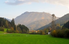
Details for: Höhenstein-Strecke

Brief description

Beautiful route along the Bodingbach in the direction of Pfaffenschlag.

Starting point of the tour

Lunz, Town Center

Destination point of the tour

Lunz, Town Center

Parking

Haus der Wildnis Parking Lot

VOR bus route to/from Lunz am See

Safety information

Please note that this and all other MTB trails in the Mostviertel are closed for the winterfrom November 1 through April 14.

Thank you for your understanding!

Author's tip

A visit to the House of the Wilderness—fascinating for all ages.

More tours around the starting point