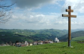
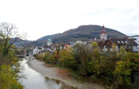
Schobersberg-Strecke

Mountainbike route from Waidhofen, Local Train Station

To view this content, you need to accept our Cookies. Change Cookie Settings
Full screen mode
Elevation profile

28,03 km length

Tour dates
  • Difficulty: Medium
  • Route: 28,03 km
  • Ascent: 598 egm
  • Descent: 577 egm
  • Duration: 1:45 h
  • Lowest point: 349 m
  • Highest point:749 m
Features
  • Round tour
  • Nice views
  • With refreshment stops

Details for: Schobersberg-Strecke

Brief description

Beautiful circular tour around Waidhofen with great views.

Description

Waidhofen – Windhag – St. Leonhard – Urlbachtal – Waidhofen

Starting point of the tour

Waidhofen, Local Train Station

Destination point of the tour

Waidhofen, Local Train Station

Directions

Coming from Vienna, take the A1 to the Amstetten West exit, then take the B121 via Kematen to Waidhofen an der Ybbs.

Coming from the west, take the A1 to the Oed exit, then take the B121 via Aschbach Markt, and continue on the B121 via Kematen to Waidhofen an der Ybbs.

Safety information

Please note that additional MTB trails in the Mostviertel region will be closed for the winterfrom November 1 through April 14.

Thank you for your understanding!

Author's tip

City tour of the historic Old Town, visit to the Five Elements Museum

More tours around the starting point